|
. |
|
. |
|
Kerry R. Hubble February 13 2013 |
|
Page12 |
|
Page 11 April 2012 |
|
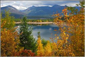
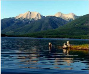
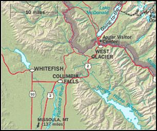
Salish Mountain Wildlife Corridor Hungry Horse and Libby Dams |
|
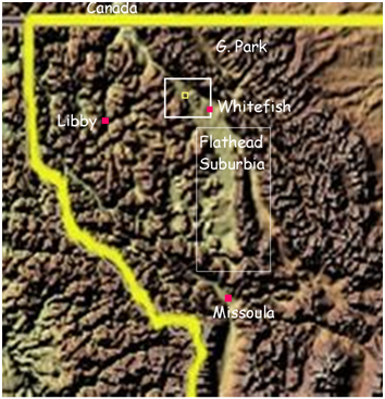
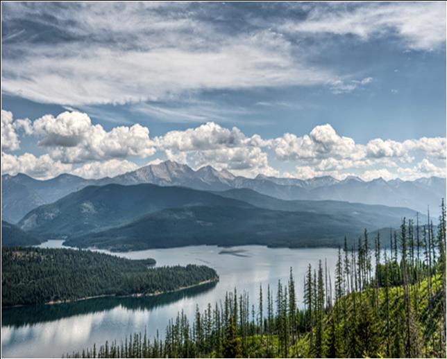
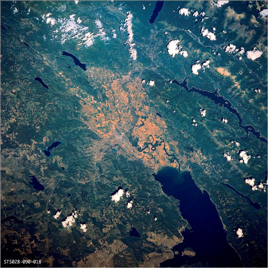
. Two Great reservoirs block, barricade wildlife migration then direct them around to other areas. Problem is that other area is up against the Suburbia of the Large Flathead Valley, Flathead Lake, Mission Valley proven by all the Grizzly-Man and residential contacts every summer. There is a small migration mountainous passage, North towards the Libby Dam, a half mile gantlet on the Flathead National Forest-Stillwater State Forest funneling wildlife to cross busy highway 93 to the West slope of upper Whitefish Range to the Salish Mountains of Tally Lake also part of the Flathead National Forest. So they are funneled to this northern mountainous pass it is now all that's left for them ...we need your help here. |
|
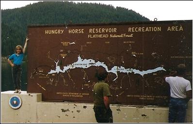
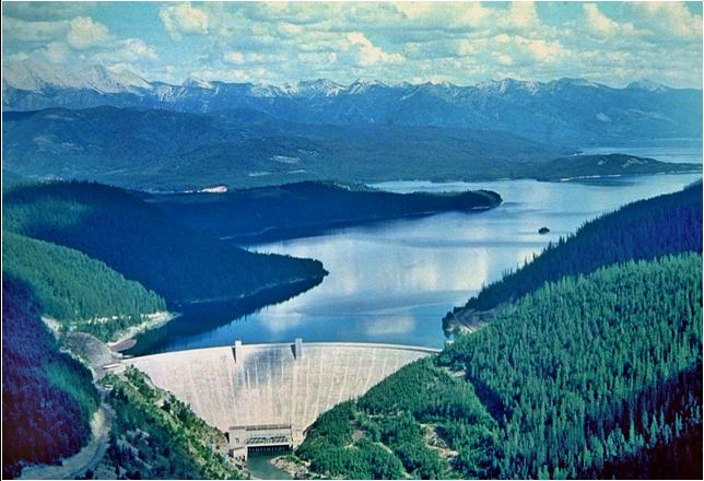
Hungry Horse Dam 1944 backs water up 31 miles but the head of the dam is near busy commercial area. This is the beginning of 22 miles wide of metropolitan Flathead Valley. Point is migrating wildlife now has to egress north through the park then move through Upper Whitefish–Swift Creek via Beaver Lake and cross Valley at this Salish Mountains Wildlife Corridor If you study a map. Know something about animal behavior and movement, you will soon see there's barricades that funnel wildlife through unpopulated or less populated areas and these two Reservoirs effect that. During the second WW they weren't thinking wildlife. |
|
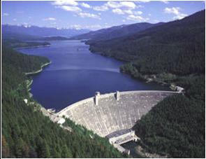
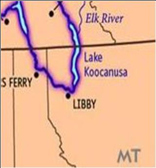
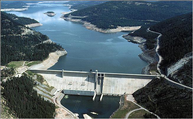
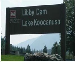
Libby Dam built in the late 60’s is like a fence unless you’re a bird or fish. Backs water up 71 miles, many into Canada. That British Columba popular recreation area is a heavy populated also, This North to South barricade stops wildlife movement and directs them southerly into the Tally Lake area . This is the only place for the connectivy of two Grizzly Bear Recovery areas, if we don't set aside vital land now it will only get more complicated in the future. |
|
Salish Mountains Wildlife Corridor |
|
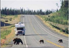
From Flathead Lake to Phoenix Az. there is one animal bridge on the Reservation located on the out skirts of Missoula . Highway slaughter from highways and contact with people incidents take many that try to cross, migrate Montana. Right is Katherine C. Kendall, USGS Glacier Field Station, Glacier National Park, Opinion. |
|
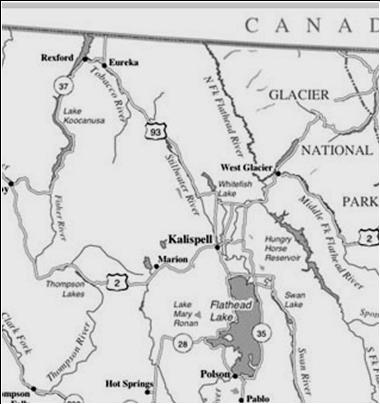
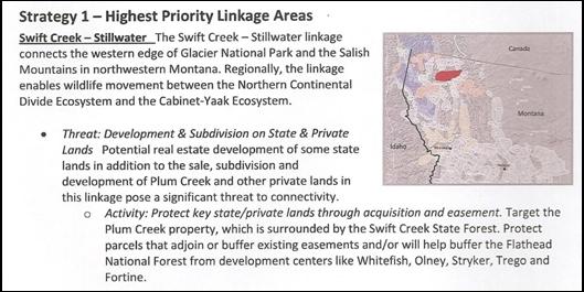
Map left show 3 major Dams and Lakes, Red box is vital Habitat that wildlife funnel through this pass to cross the valley. From Flathead Lake south is mostly suburbia with one animal bridge near Missoula 140 miles south.
|
|
Glacier Park |
|
Flathead Valley Suburbia |
|
Salish Mountains Wildlife Corridor |
|
Libby Montana |
|
Page 11
|
|
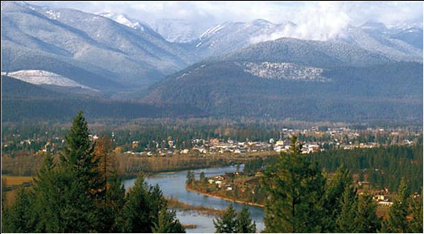
. This area is also know as the Yaak, Kootenai River and a Yaak River |